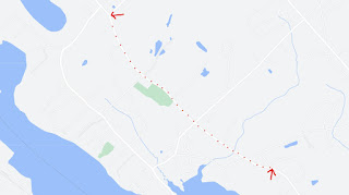
Click for larger map
This survey of existing and proposed roads is from about 1817. The proposed roads are in a slightly lighter brown dotted line. It is interesting to note the proposed new road from Mark Fernald's house over the Eliot line in Kittery to the intersection of what is now Beech Road. This became the long stretch of State Road that goes past the Mt. Pleasant Cemetery. Before this new stretch of road existed everyone travelled on what is today Leach Road to Bolt Hill Road, to Main Street and Moses Gerrish Farmer Road to get from Kittery to the where the center of Eliot is today. Also notice the proposed road that would have existed just north of where Hanscom Road is today and come out around Fernald Lane continuing across to Littlebrook Lane and on to the sharp corner of Goodwin Road at Frost Hill. The last two things to note are Beech Road is named New Road, and the section of State Road between the Grange Hall and the end of Fore Road does not exist and wasn't even proposed at this time.
The notes included with this drawing indicate that these new roads were being proposed as a way to reduce the travel distance between Rice's Ferry in Kittery up to the South Berwick Landing. This was most likely an appeal to the State to build these roads to make commercial transportation between these two hubs more efficient.


No comments:
Post a Comment